


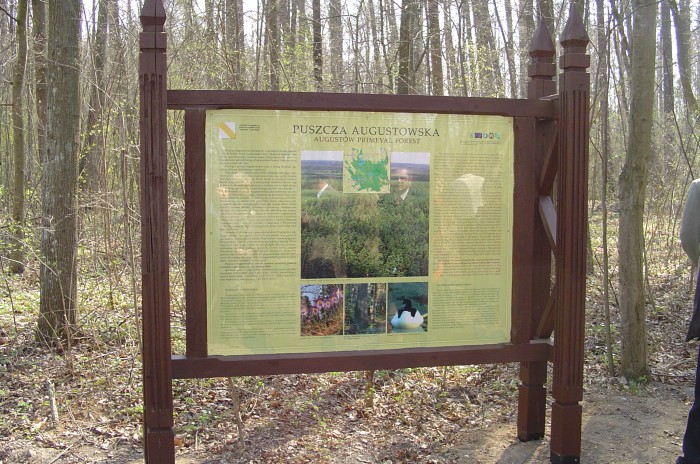
Tourists should get to know Suwalszczyzna in an active way. You’ll find out its beauty when you cross the land on foot or by bike, and the paths to travel form a dense network. The whole of Suwalszczyzna offers 2500 km of marked tourist trails – for hiking, cycling, skiing, horse-riding or driving. A separate category are the educational paths, known also as didactic or nature paths, dedicated first of all to hikers. Suwalszczyzna offers over 20 of them – most of them located in the Wigry National Park (6) and the Suwałki Landscape Park (5).
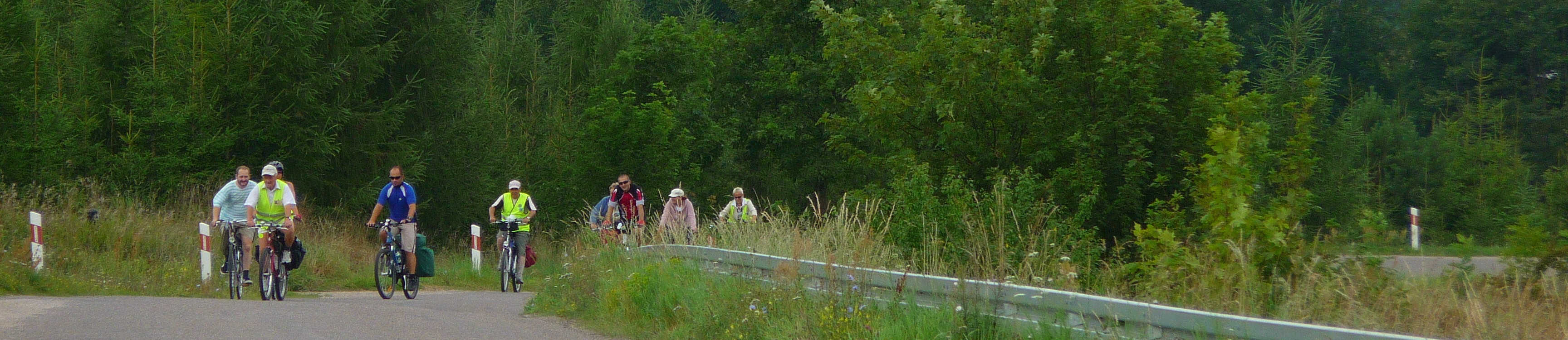
Among the cycling trails three distinguish themselves with their length and make the backbone of the network. These are:
The Suwalszczyzna Bicycle Ring R65, encircling the whole region in a wide arc. Follow it and you will learn the former Polish-Prussian borderland, the Polish-Lithuanian and Polish-Belarusian borderlands and the upper section of the Biebrza Valley. In the north, it traverses the hilly terrain of the Suwałki Lake District and in the south the Augustów Plain – much less hilly than the northern section, but much more forested;
Podlaskie White Stork Trail, Suwałki section. It is the northern part of a long trail (412.5km) that starts in Białowieża. It runs through the areas of highest natural value – Białowieża Forest, Valley of the Upper Narew, Biebrza Basin, Augustów Forest and Suwałki Lakeland, and links three national parks – Białowieża, Narew and Biebrza National Parks – and 2 landscape parks – Suwalki Landscape Park and Romincka Forest Landscape Park ;
The international cycle route R11, part of trans-European route stretching from Athens, Greece to Nordkap, Norway. The part of the route crossing Suwalszczyzna runs through unique places of the region: Biebrza National Park, Augustów Forest, Wigry National Park and Sejny Lakeland.
An interesting initiative of the District Office are two trails of the “Border Position Fortifications” offering visits to German World War 2 bunkers. Both trails begin at Dowspuda, near Raczki, and in their first part run along the Rospuda to finish at the ‘Wisztyniec” border tripoint. W Bolciach (Polska-Litwa-Obwód Kaliningradzki) szlak rowerowy oznakowany jest symbolem R68 w kolorze zielonym i ma długość 64 km. Szlak samochodowy ma podobny, choć nie identyczny przebieg i długość 59 km.